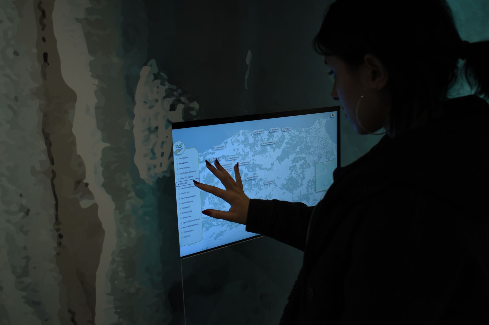
Geographic information system
A geographic information system brings together software, data and methods to collect, analyse and map territorial information.
2 articles
A geographic information system brings together software, data and methods to collect, analyse and map territorial information.
Geographic data combines a location with descriptive attributes: vector and raster formats, reference datasets and territorial uses.